How the land took shape
Geology & relief.
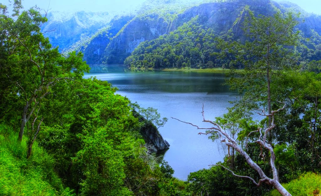
Wetar stands within the Banda arc region, where plate convergence has uplifted and deformed older crust. Its relief should be distinguished from Gunungapi Wetar, the separate volcanic island offshore to the north. The main island’s mountain landscape drops toward reef-fringed coasts and deep surrounding water.
Across the seasons
Climate & vegetation.
Rainfall is strongly seasonal. Much of the broadleaf forest loses part of its canopy during drier months, while higher ridges and better-watered sites support moister vegetation. This seasonality gives Wetar a different appearance from the wetter islands farther north in Maluku.
Connections & isolation
Biogeographic setting.
Wetar belongs to the Timor–Wetar deciduous forest ecoregion. Its isolation has produced distinctive birds, including the Wetar figbird, within a wider Wallacean assemblage. Forest structure and seasonal water availability are central to understanding these terrestrial habitats.