How the land took shape
Geology & relief.
Timor rises where the Australian continental margin collides with the Banda arc. Much of its rock succession originated along that continental margin before deformation and uplift brought it into the island’s mountains. This outer-arc setting distinguishes West Timor’s folded and uplifted terrain from the active volcanic chain through Flores farther north.
Across the seasons
Climate & vegetation.
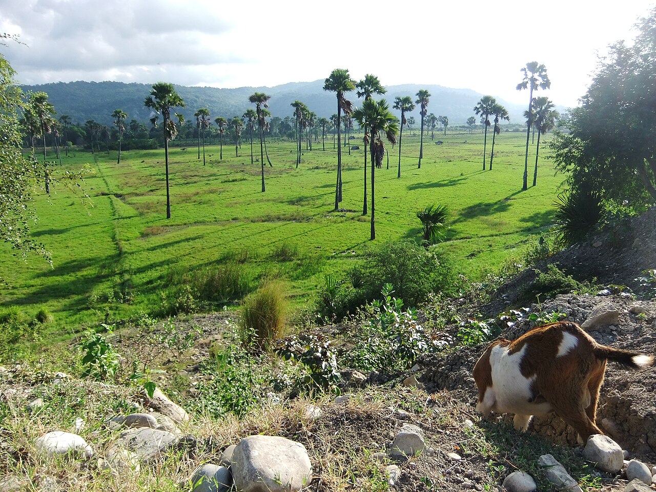
The monsoonal climate has a prolonged dry season and a shorter wet period. Lowland grasslands and cultivated ground can become very dry, while upland forests experience cooler, moister conditions. Differences in height, slope and exposure make the Mutis landscape ecologically distinct from Kupang’s coastal plain.
Connections & isolation
Biogeographic setting.
West Timor belongs to Wallacea and the Timor-associated seasonal forest region. Its island history has produced distinctive bird communities and local habitat associations. Research on Mutis highlights native Eucalyptus urophylla forest, while studies in Kupang Bay document a separate tidal wetland community.