Island atlas · Landscapes & species
Balabac
12 species records name Balabac. Explore their natural history, taxonomic history and distribution sources.
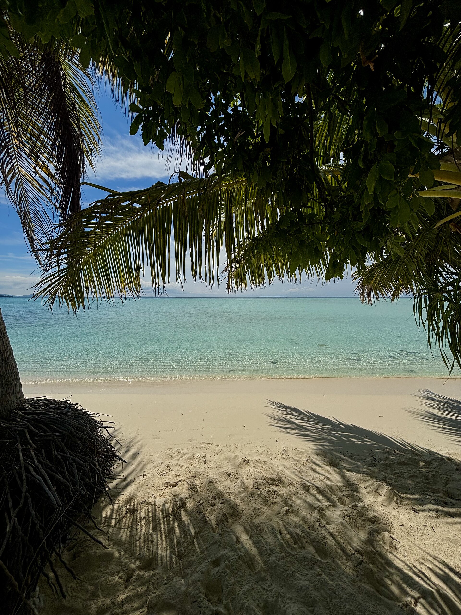
Onuk Island in the surrounding Balabac island group. This coastal scene shows the wider setting, not the main island of Balabac.
Photo: Hanna Zapant · Original photograph · CC BY-SA 4.0. Displayed to fit the frame.
Beyond the species list
A sense of place.
Balabac lies south of the main island of Palawan, across the Balabac Strait from Sabah in northern Borneo. It is the main island of a municipality that also includes numerous smaller islands.
Landscape & habitats
Lowland forest, secondary vegetation and mangroves form part of the terrestrial landscape. A Palawan Council for Sustainable Development study describes these habitats alongside cultivated areas in the wider Balabac group. The small offshore islands add sandy shorelines and shallow coastal water to this setting.
The photograph shows nearby Onuk in the Balabac group. The species index retains records naming Balabac; it does not transfer them to Onuk.
Geographic sources
Geographic overview checked 7 October 2026. The photograph illustrates a landscape, not a snake observation.
Islands, barriers & evolution
Zoogeography
Southern edge of the Palawan faunal region
Balabac belongs to the Palawan faunal region near Borneo. This region has strong Sunda Shelf affinities, but vertebrate studies also reveal relationships with the oceanic Philippines. A simple division into ‘Asian’ and ‘Philippine’ animals misses that mixture.
The historical timing and extent of dry-land connections towards Borneo remain questions to evaluate from geological and biological evidence. The narrow-looking modern gap alone does not establish a former land bridge or a particular species’ route of arrival.
How to read the historical island groups
During Pleistocene glacial periods, lower sea levels exposed shallow seabeds and joined some present-day islands. Biogeographers call these reconstructed landmasses Pleistocene Aggregate Island Complexes (PAICs). Deep channels continued to separate others. This model helps explain regional similarities, but dispersal, older geology and habitat differences also shaped each fauna.
“Endemic” means restricted to a stated area; a Philippine endemic need not be confined to one island. The account above summarises published regional and local research. It does not add occurrences to the snake index below.
Regional framework: Meneses et al. (2024) ↗Zoogeographic sources · 2
- Esselstyn et al. (2010) · Biogeographic patterns along Huxley’s modification of Wallace’s Line ↗Comparative evidence from terrestrial vertebrates; Palawan as a transition rather than a simple extension of Borneo.
- Esselstyn, Widmann & Heaney (2004) · The mammals of Palawan Island ↗Palawan faunal-region context and the uncertainty of past connections with Borneo.
Literature checked 7 October 2026. Survey results refer to the dates and areas studied.
Source-backed index
12 species
These are explicit source mentions, not a complete island richness estimate. Fine localities and habitat associations remain separate evidence claims.
Aplopeltura boa
(BOIE 1828)
Boiga dendrophila
(BOIE 1827)
Coelognathus erythrurus
(DUMÉRIL, BIBRON & DUMÉRIL 1854)
Coelognathus philippinus
(GRIFFIN 1909)
Dendrelaphis levitoni
VAN ROOIJEN & VOGEL 2012
Dendrelaphis marenae
VOGEL & VAN ROOIJEN 2008
Gonyosoma oxycephalum
(BOIE 1827)
Oligodon notospilus
GÜNTHER 1873
Psammodynastes pulverulentus
(BOIE 1827)
Rhabdophis chrysargos
(SCHLEGEL 1837)
Trimeresurus schultzei
GRIFFIN 1909
Tropidolaemus subannulatus
(GRAY 1842)
A source naming Balabac does not establish occurrence in every municipality, protected area, or habitat on the island.